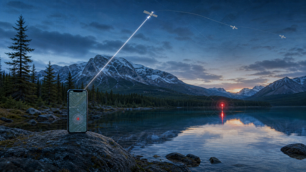
The most revealing Canadian app story of 2025 was not a billion-dollar AI launch. It was a modest Android map from a Thornhill developer asking neighbours to record coyote sightings and keep pets safe.
The app’s premise fits in one sentence: see a coyote, submit a sighting, help someone nearby understand where activity has been reported. The technical parts—location, timestamps, a map and notifications—are straightforward.
The social parts are not. A pin does not tell you whether an animal was aggressive, merely present or reported twice by two people looking at the same coyote. A safety map can become a rumour map if evidence and context do not travel with the location.
What actually changed
Coyote Tracker offered a purpose-built alternative to scattered neighbourhood posts. Its listing emphasized safe reporting, warned users not to approach animals and said the app collected location data.
That combination—small local software, public participation and a very Canadian urban-wildlife problem—is exactly the kind of technology advancement that disappears when coverage looks only at global platforms.
How it works, without the launch-event fog
A phone captures a location and sends a report to a service that places it on a shared map. The map can reveal clusters or recent activity, but the accuracy of every pattern rests on participation, duplicate handling and location precision.
Useful design would separate “seen,” “approached,” “injured” and “aggressive”; show time decay; avoid pinpointing dens; and route emergencies to official channels. A red dot alone encourages the viewer to invent a story.
A neighbourhood megathread became an improvised sighting network—and a reminder that reporting should include coexistence guidance, not only alarm.
The Canadian reality check
Coyotes live in cities across Canada. Municipal guidance commonly emphasizes keeping distance, securing food attractants, supervising small pets and never feeding wildlife. An app should reinforce that behaviour at the moment of reporting.
Location privacy cuts both ways. A precise sighting may help a dog walker avoid a path, but it can also expose a reporter’s home pattern or direct people toward an animal. Coarser public locations with precise data reserved for authorized responders may be safer.
Who should care—and who can wait
Pet owners and neighbourhood groups may find a recent map helpful when paired with municipal guidance. Wildlife organizations could learn from recurring reports if the data quality and consent are adequate.
People should not detour toward a pin to photograph an animal. The app’s own warning is the sensible rule: report only when it is safe.
What the announcement does not settle
An app-store privacy label is developer-supplied information, not an independent audit. Users should check permissions and avoid sharing more precise location than the feature needs.
Low download counts can also make a map look quiet where reporting is simply sparse. Absence of pins is not proof of absence.
The OneZero verdict
Coyote Tracker is interesting because it is small, local and legible. It uses ordinary phone capabilities to make a neighbourhood problem visible.
Its success should not be measured by the number of alarming dots. It should be measured by calmer decisions, safer pets and fewer people treating wildlife like content.